Hwy 101 mile marker 235a.
Bastendorff Beach is the first of five beaches, parks, and viewpoints
on the "Charleston Loop".
To reach the Charleston Loop:
A few blocks after you cross the bridge leading into North Bend, highway 101
splits into two separate one-way streets. Soon after this you will come to Virginia Ave. There is a sign indicating a right turn for "Charleston - State Parks".
"Don't turn here".
It's easier to pass up this right turn and turn instead on Newmark street a few blocks further south. Newmark's street sign also has a separate sign
labeled "High School - Community College". Turn right onto Newmark.
It will soon become "Cape Arago Highway". Continue driving toward
the bay. Just before the bay, Cape Arago Highway turns left.
This highway is the "Charleston Loop". Note that further down,
Cape Arago Highway turns right and you will immediately cross a bridge and enter Charleston.
Continue on Cape Arago Highway
to the five recreation areas.
Note that there is a trail which connects Sunset Bay, Bastendorff Beach, Simpson Reef, Shore Acres, and Cape Arago.
This trail runs along the Cape Arago Highway, with numerous excursions into forested areas and near the beaches
Site Resources: camping area (25 sites), one group camp site, RV area (74 sites), two cabins, yurts, horseshoe area, basketball court, large play area with "forts", etc, picnic tables, restroom, showers.
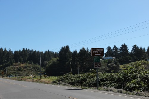
Coos County parks link:Bastendorff Beach No fee required to visit the beach.
Entrance on Charleston Loop |
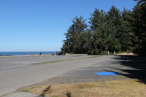
Parking lot |
 |
 |
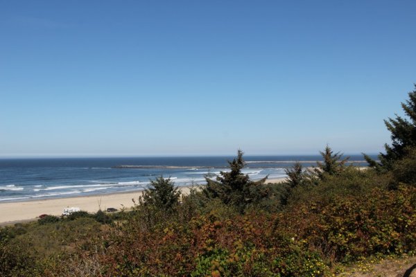
View to the North |
Looking North from the beach parking lot. |
 |
|
Yoakam Point can be seen in the distance jutting out into the ocean. |
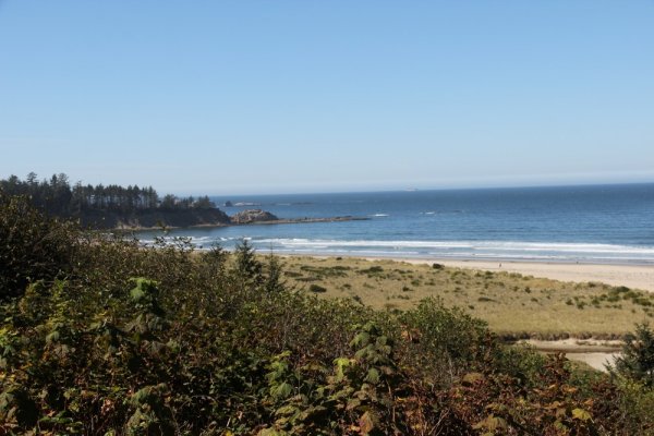
View to the South |
 |
Copyright © 2014 J.A.